Christchurch Harbour Circular
Part 2 : Stanpit to Christchurch
Previous section
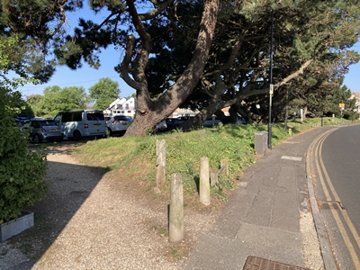
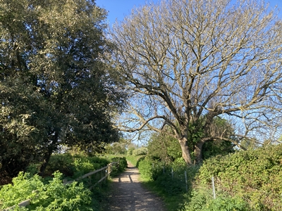
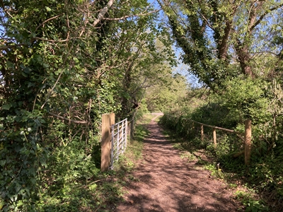
OS Ref : SZ.1724.9246
Photo : CHC-2-1 Date : 27 April 2026
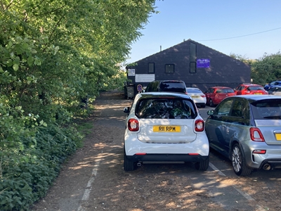
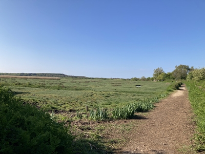
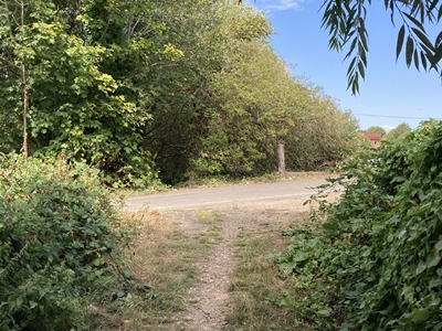
OS Ref : SZ.1722.9245
Photo : CHC-2-2 Date : 27 April 2026
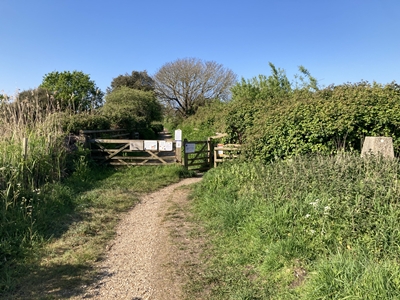
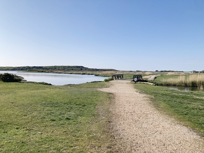
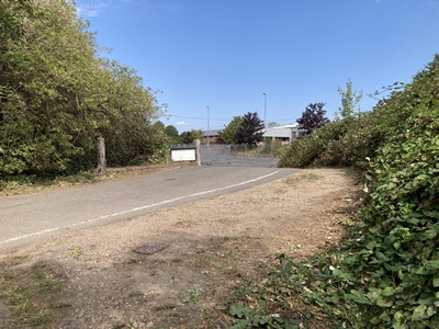
OS Ref : SZ.1718.9241
Photo : CHC-2-3 Date : 27 April 2026
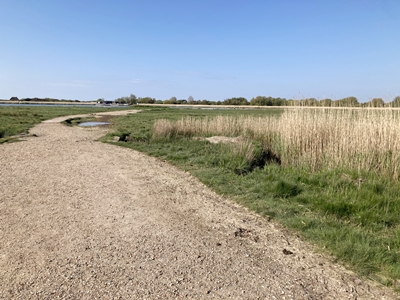
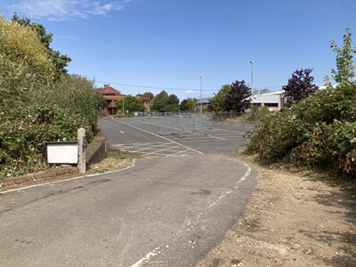
OS Ref : SZ.1717.9240
Photo : CHC-2-4 Date : 27 April 2026
OS Ref : SZ.1715.9239
Photo : CHC-2-5 Date : 27 April 2026
View towards Christchurch Priory OS Ref : SZ.1689.9182
Photo : CHC-2-6 Date : 27 April 2026
OS Ref : SZ.1684.9169
Photo : CHC-2-7 Date : 27 April 2026
View towards Christchurch Priory OS Ref : SZ.1674.9159
Photo : CHC-2-8 Date : 27 April 2026
OS Ref : SZ.1671.9159
Photo : CHC-2-9 Date : 27 April 2026
OS Ref : SZ.1663.9167
Photo : CHC-2-10 Date : 27 April 2026
OS Ref : SZ.1658.9181
Photo : CHC-2-11 Date : 27 April 2026
OS Ref : SZ.1664.9201
Photo : CHC-2-12 Date : 27 April 2026
OS Ref : SZ.1664.9204
Photo : CHC-2-13 Date :25 August 2026
OS Ref : SZ.1667.9216
Photo : CHC-2-14 Date : 27 April 2026
This section is not easy but OS Ref : SZ.1668.9217
Photo : CHC-2-15 Date : 24 August 2026
OS Ref : SZ.1669.9218
Photo : CHC-2-16 Date : 24 August 2026
OS Ref : SZ.1663.9217
Photo : CHC-2-17 Date : 24 August 2026
OS Ref : SZ.1659.9218
Photo : CHC-2-18 Date : 24 August 2026
OS Ref : SZ.1646.9222
Photo : CHC-2-19 Date : 24 August 2026
OS Ref : SZ.1643.9223
Photo : CHC-2-20 Date : 24 August 2026
OS Ref : SZ.1641.9228
Photo : CHC-2-21 Date : 24 August 2026
OS Ref : SZ.1639.9231
Photo : CHC-2-22 Date : 24 August 2026
OS Ref : SZ.1638.9238
Photo : CHC-2-23 Date : 24 August 2026
OS Ref : SZ.1639.9241
Photo : CHC-2-24 Date : 24 August 2026
OS Ref : SZ.1642.9245
Photo : CHC-2-25 Date : 24 August 2026
OS Ref : SZ.1643.9246
Photo : CHC-2-26 Date :25 August 2026
OS Ref : SZ.1642.9248
Photo : CHC-2-27 Date : 24 August 2026
OS Ref : SZ.1639.9260
Photo : CHC-2-28 Date : 27 April 2026
OS Ref : SZ.1638.9261
Photo : CHC-2-29 Date :25 August 2026
OS Ref : SZ.1638.9262
Photo : CHC-2-30 Date : 25 August 2026
OS Ref : SZ.1638.9262
Photo : CHC-2-31 Date : 25 August 2026
OS Ref : SZ.1638.9262
Photo : CHC-2-32 Date : 27 April 2026
OS Ref : SZ.1634.9270
Photo : CHC-2-33 Date : 27 April 2026
OS Ref : SZ.1634.9272
Photo : CHC-2-34 Date : 27 April 2026
OS Ref : SZ.1632.9278
Photo : CHC-2-35 Date :27 April 2026
OS Ref : SZ.1630.9283
Photo : CHC-2-36 Date :25 August 2026
 Next section
Index
Next section
Index
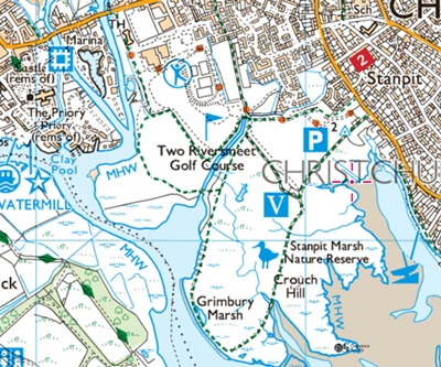
Stanpit to Christchurch.
between Crouch Hill and Grimmery Marsh.
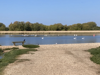
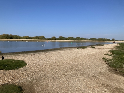
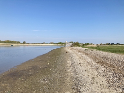
the confluence of the Rivers Avon and Stour.
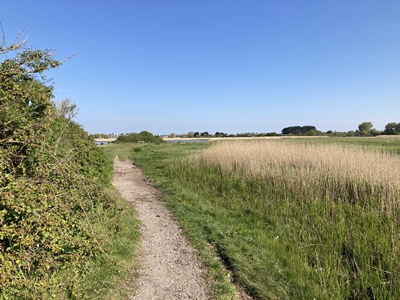
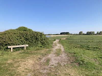
past Parky Meade Rail inlet.
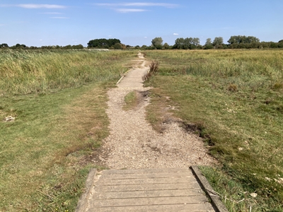
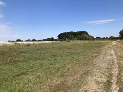
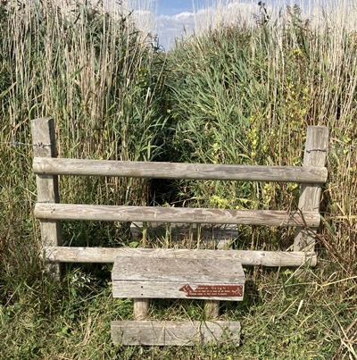
a style comes into view on the left.
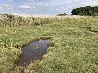
there is an alternative route
your footing as you proceed.
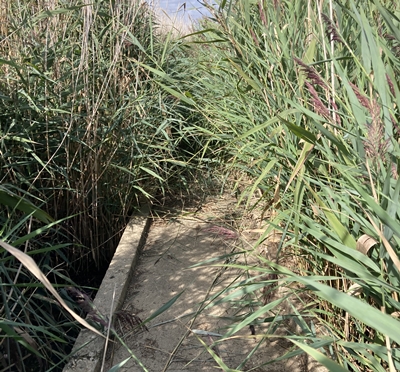
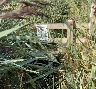
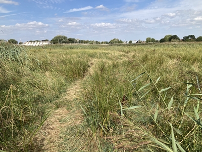
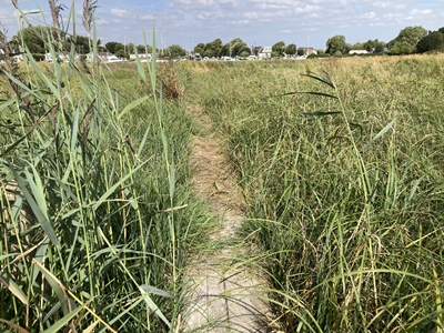
boardwalk along this section.
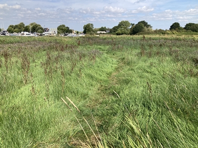
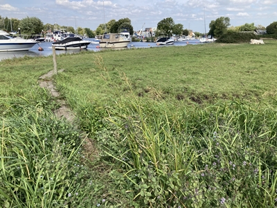
a marker post near the river.
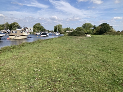
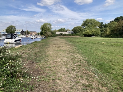
then bear away to the right.
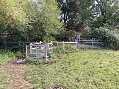
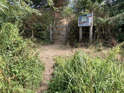
The gate opposite is where
the alternative route rejoins.
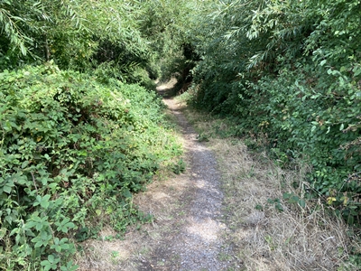
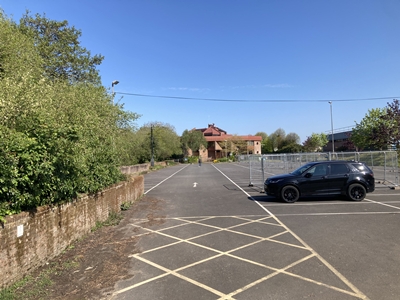
the left-hand side of the building.
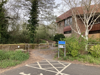
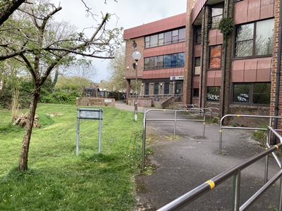
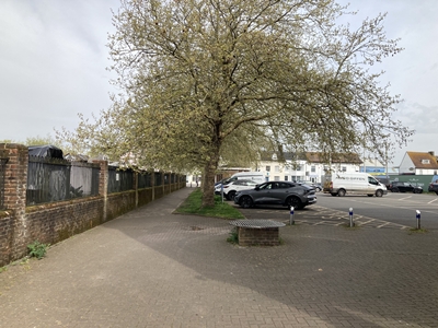
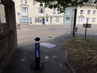
cross Bridge Street and turn left.