Avon Valley Path
Part 2c : Kingston to Ringwood
Previous section
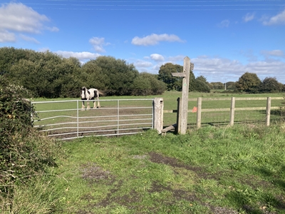
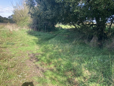
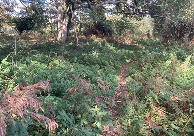
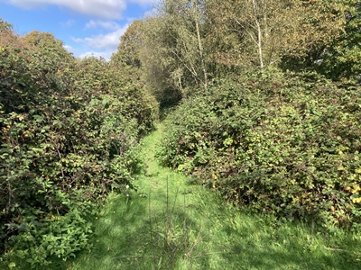
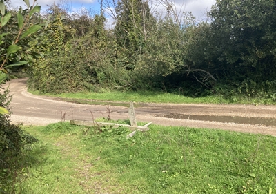
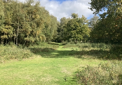
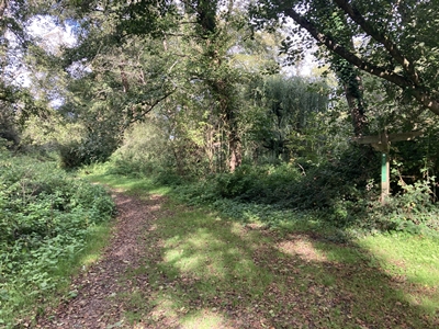
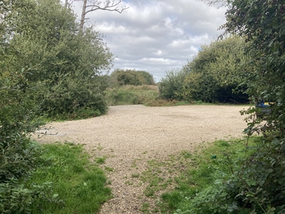
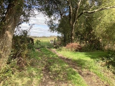
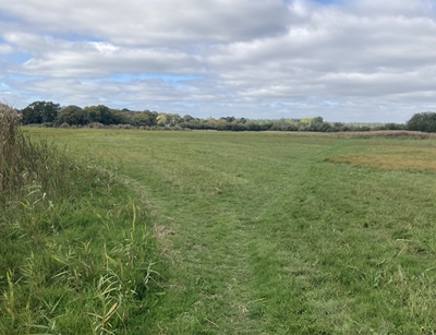
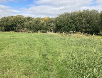
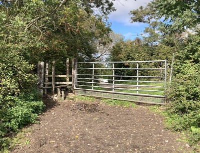
OS Ref : SU.1498.0222
Photo : AVP-2c-1 Date : 6 October 2025
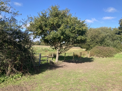
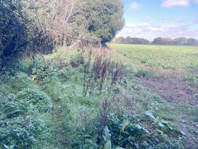
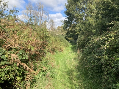
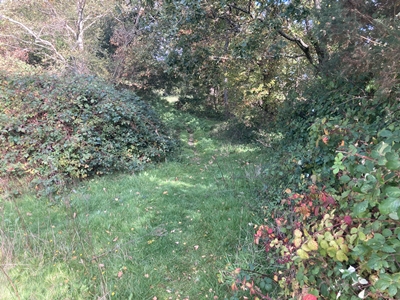
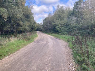
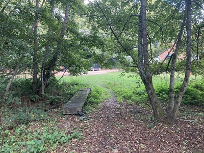
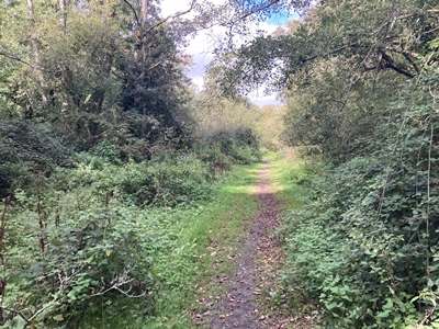
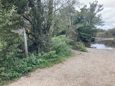
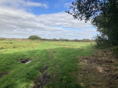
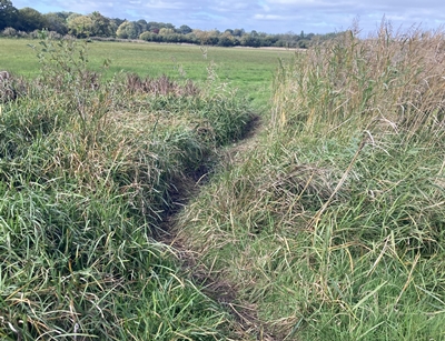
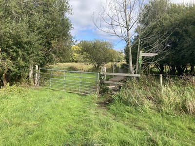
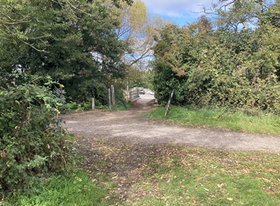
OS Ref : SU.1497.0229
Photo : AVP-2c-2 Date : 6 October 2025
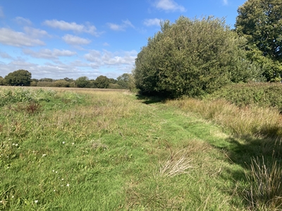
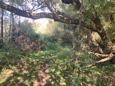
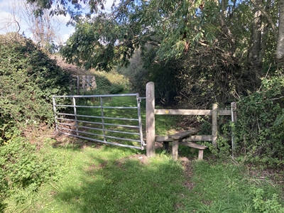
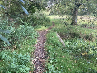
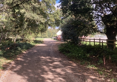
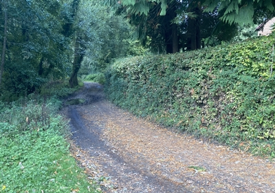
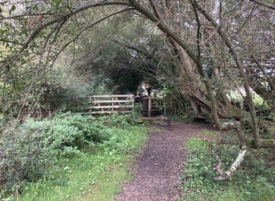
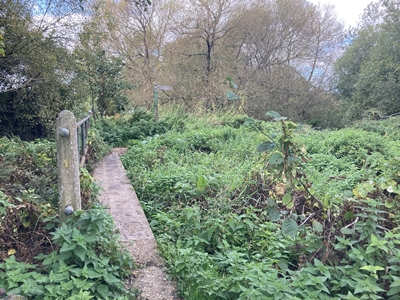
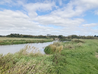
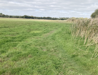
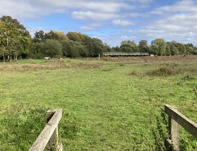
OS Ref : SU.1497.0232
Photo : AVP-2c-3 Date : 6 October 2025
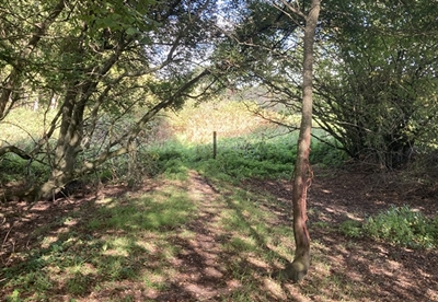
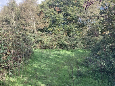
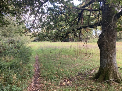
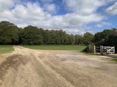
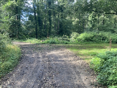
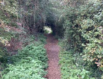
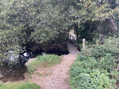
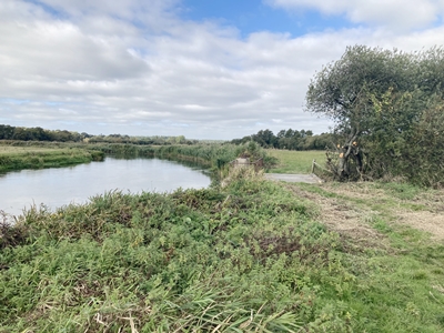
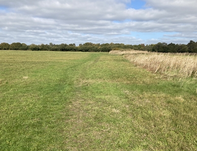
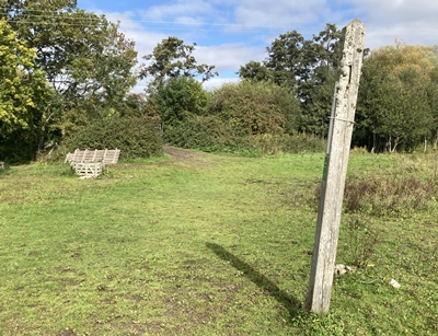
OS Ref : SU.14956.0236
Photo : AVP-2c4- Date : 6 October 2025
OS Ref : SU.1496.0237
Photo : AVP-2c-5 Date : 6 October 2025
OS Ref : SU.1493.0259
Photo : AVP-2c-6 Date : 6 October 2025
Photo : AVP-2c-7 Date : 6 October 2025
Photo : AVP-2c-8 Date : 6 October 2025
OS Ref : SU.
Photo : AVP-2c-9 Date : 6 October 2025
OS Ref : SU.1492.0267
Photo : AVP-2c-10 Date : 6 October 2025
OS Ref : SU.1492.0268
Photo : AVP-2c-11 Date : 6 October 2025
Photo : AVP-2c-12 Date : 6 October 2025
OS Ref : SU.1492.0270
Photo : AVP-2c-13 Date : 6 October 2025
OS Ref : SU.1492.0275
Photo : AVP-2c-14 Date : 6 October 2025
OS Ref : SU.1492.0277
Photo : AVP-2c-15 Date : 6 October 2025
OS Ref : SU.1493.0281
Photo : AVP-2c-16 Date : 6 October 2025
OS Ref : SU.1492.0290
Photo : AVP-2c-17 Date : 6 October 2025
OS Ref : SU.1490.0304
Photo : AVP-2c-18 Date : 6 October 2025
OS Ref : SU.1494.0316
Photo : AVP-2c-19 Date : 6 October 2025
OS Ref : SU.1498.0321
Photo : AVP-2c-20 Date : 6 October 2025
OS Ref : SU.1504.0329
Photo : AVP-2c-21 Date : 6 October 2025
OS Ref : SU.1504.0333
Photo : AVP-2c-22 Date : 6 October 2025
OS Ref : SU.1497.0333
Photo : AVP-2c-23 Date : 6 October 2025
OS Ref : SU.1496.0334
Photo : AVP-2c-24 Date : 6 October 2025
OS Ref : SU.1493.0339
Photo : AVP-2c-25 Date : 6 October 2025
OS Ref : SU.1491.0342
Photo : AVP-2c-26 Date : 6 October 2025
OS Ref : SU.1489.0349
Photo : AVP-2c-27 Date : 6 October 2025
OS Ref : SU.1488.0353
Photo : AVP-2c-28 Date : 6 October 2025
OS Ref : SU.
Photo : AVP-2c-29 Date : 6 October 2025
OS Ref : SU.1487.0356
Photo : AVP-2c-30 Date : 6 October 2025
OS Ref : SU.1485.0355
Photo : AVP-2c-31 Date : 6 October 2025
OS Ref : SU.1485.0357
Photo : AVP-2c-32 Date : 6 October 2025
OS Ref : SU.1484.0361
Photo : AVP-2c-33 Date : 6 October 2025
OS Ref : SU.1484.0366
Photo : AVP-2c-34 Date : 6 October 2025
OS Ref : SU.1482.0382
Photo : AVP-2c-35 Date : 6 October 2025
OS Ref : SU.1484.0391
Photo : AVP-2c-36 Date : 6 October 2025
OS Ref : SU.1484.0392
Photo : AVP-2c-37 Date : 6 October 2025
OS Ref : SU.1486.0408
Photo : AVP-2c-38 Date : 6 October 2025
OS Ref : SU.1486.0416
Photo : AVP-2c-39 Date : 6 October 2025
OS Ref : SU.1478.0422
Photo : AVP-2c-40 Date : 6 October 2025
OS Ref : SU.1468.0434
Photo : AVP-2c-41 Date : 6 October 2025
OS Ref : SU.1461.0439
Photo : AVP-2c-42 Date : 6 October 2025
OS Ref : SU.1459.0456
Photo : AVP-2c-43 Date : 6 October 2025
OS Ref : SU.1458.0466
Photo : AVP-2c-44 Date : 6 October 2025
OS Ref : SU.1457.0469
Photo : AVP-2c-45 Date : 6 October 2025
OS Ref : SU.1459.0471
Photo : AVP-2c-46 Date : 6 October 2025
OS Ref : SU.1463.0476
Photo : AVP-2c-47 Date : 6 October 2025
OS Ref : SU.1467.0479
Photo : AVP-2c-48 Date : 6 October 2025
OS Ref : SU.1467.0480
Photo : AVP-2c-49 Date : 6 October 2025
![]()
![]() Next section
Next section
![]()
![]() Index
Index
Kingston to Ringwood.
a stile then diagonally right across a field.
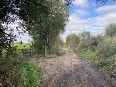
after which turn right.
ducks back through the hedge
and bears left.
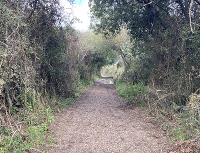
a thicket between the fields.
a waymarker indicates the path
continuing directly ahead.
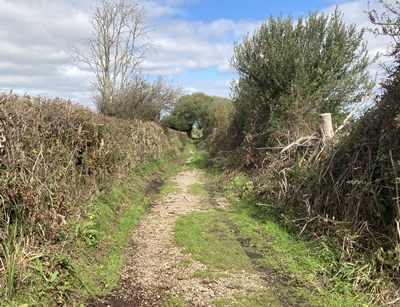
brambles on both sides.
follow it as it branches right.
past Black Firs woodland.
the right and a green on the left.
bear half right across a green.
The path continues to the
left just past the footpath sign.
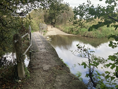
far side of the mill stream.
the end of the track and
enter the water meadows.
to reach the river bank.
of wet rushes then bears right.
at the treeline ahead.
the boardwalk beyond.
to the left at the tall post.
the gap in the hedge ahead.
which is now Castleman's Trailway.