Avon Valley Path
Part 1a : Christchurch to the Water Meadows
Next section
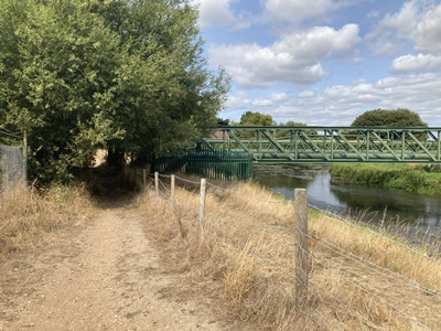
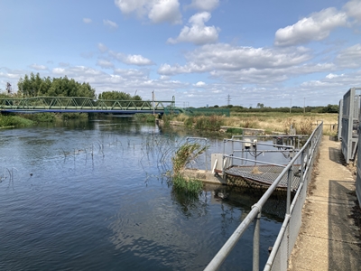
This section of the walk ends where a footbridge OS Ref : SZ.1598.9255
Photo : AVP-1a-1 Date : 5 August 2025
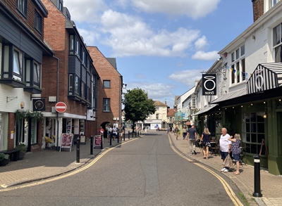
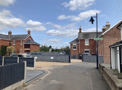
OS Ref : SZ.1596.9261
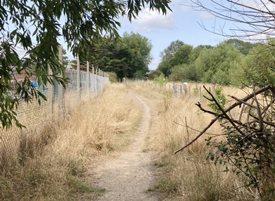
Photo : AVP-1a-2 Date : 5 August 2025
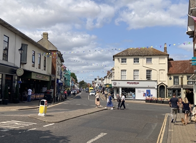
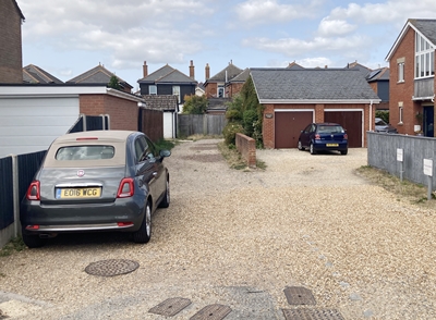
OS Ref : SZ.1593.9265
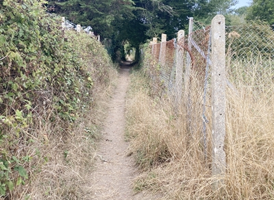
Photo : AVP-1a-3 Date : 5 August 2025
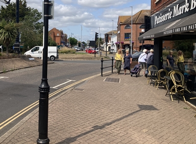
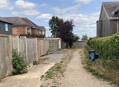
OS Ref : SZ.1594.9264
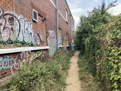
Photo : AVP-1a-4 Date : 5 August 2025
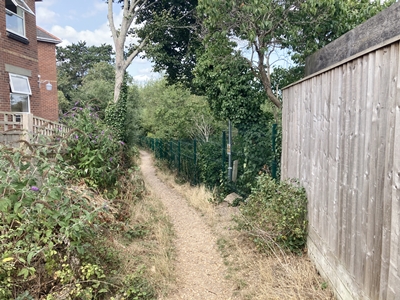
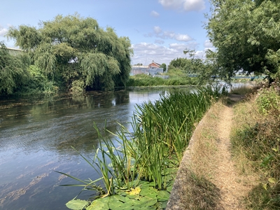
OS Ref : SZ.1592.9269
Photo : AVP-1a-5 Date : 5 August 2025
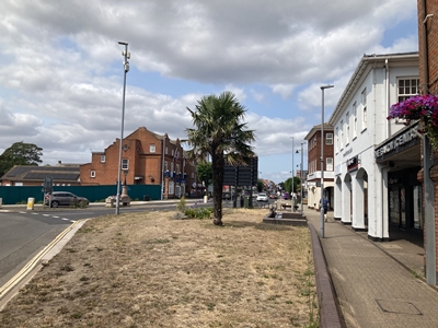
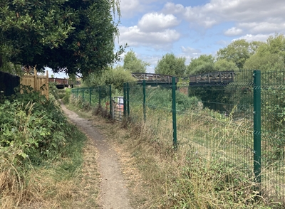
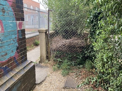
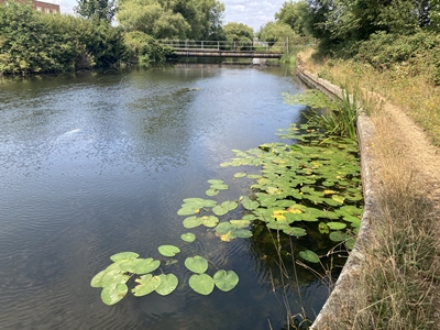
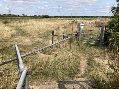
OS Ref : SZ.1573.9290
Photo : AVP-1a-6 Date : 5 August 2025
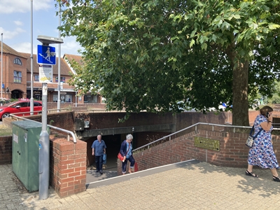
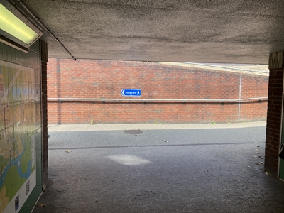
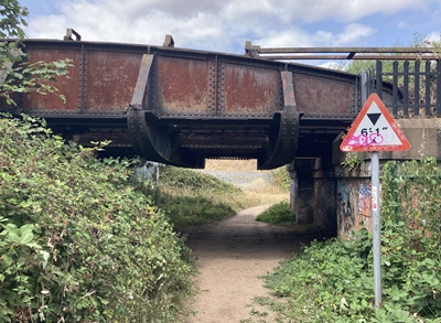
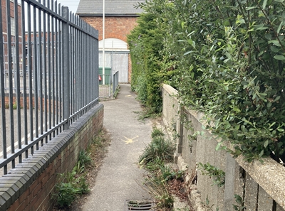
OS Ref : SZ.1573.9294
Waymarker at subway.
Photo : AVP-1a-7 Date : 5 August 2025
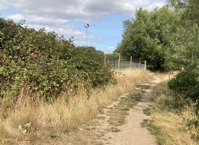
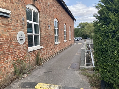
OS Ref : SZ.1572.9295
Photo : AVP-1a-8 Date : 5 August 2025
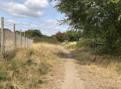
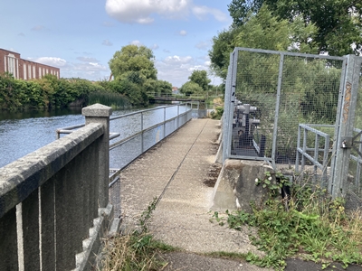
OS Ref : SZ.1568.9296
Photo : AVP-1a-9 Date : 5 August 2025
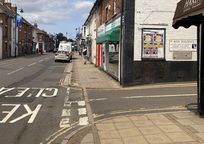
OS Ref : SZ.1555.9315
Directional sign at Bargates.
Photo : AVP-1a-10 Date : 5 August 2025
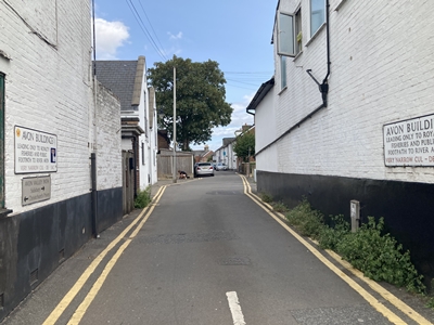
OS Ref : SZ.1556.9316
Photo : AVP-1a-11 Date : 5 August 2025
OS Ref : SZ.1564.9321
Photo : AVP-1a-12 Date : 5 August 2025
OS Ref : SZ.1564.9322
Photo : AVP-1a-13 Date : 5 August 2025
OS Ref : SZ.1563.9325
Photo : AVP-1a-14 Date : 5 August 2025
OS Ref : SZ.1565.9327
Photo : AVP-1a-15 Date : 5 August 2025
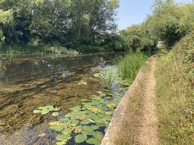
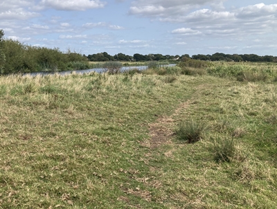
OS Ref : SZ.1564.9338
View of the river from the footpath.
Photo : AVP-1a-16 Date : 5 August 2025
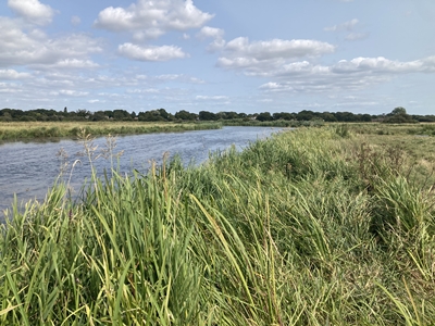
OS Ref : SZ.1561.9342
Photo : AVP-1a-17 Date : 5 August 2025
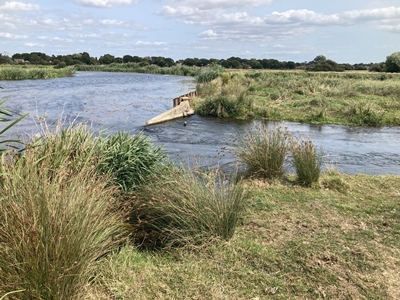
OS Ref : SU.1561.9355
Photo : AVP-1a-18 Date : 5 August 2025
OS Ref : SZ.1561.9357
Photo : AVP-1a-19 Date : 5 August 2025
OS Ref : SZ.1560.9359
Photo : AVP-1a-20 Date : 5 August 2025
OS Ref : SZ.1554.9367
Photo : AVP-1a-21 Date : 5 August 2025
OS Ref : SZ.1549.9373
Photo : AVP-1a-22 Date : 5 August 2025
OS Ref : SZ.1548.9375
Photo : AVP-1a-23 Date : 5 August 2025
OS Ref : SZ.1546.9377
Photo : AVP-1a-24 Date : 5 August 2025
OS Ref : SZ.1546.9376
Photo : AVP-1a-25 Date : 5 August 2025
OS Ref : SZ.1546.9378
Photo : AVP-1a-26 Date : 5 August 2025
OS Ref : SZ.1548.9380
Photo : AVP-1a-27 Date : 5 August 2025
OS Ref : SZ.1548.9384
Photo : AVP-1a-28 Date : 5 August 2025
OS Ref : SZ.1547.9387
Photo : AVP-1a-29 Date : 5 August 2025
OS Ref : SZ.1545.9393
Photo : AVP-1a-30 Date : 5 August 2025
OS Ref : SZ.1546.9398
Photo : AVP-1a-31 Date : 5 August 2025
OS Ref : SZ.1547.9402
Photo : AVP-1a-32 Date : 5 August 2025
OS Ref : SZ.1561.9426
Photo : AVP-1a-33 Date : 5 August 2025
OS Ref : SZ.1568.9425
Photo : AVP-1a-34 Date : 5 August 2025
OS Ref : SZ.1573.9423
Photo : AVP-1a-35 Date : 5 August 2025
![]()
![]() Index
Index
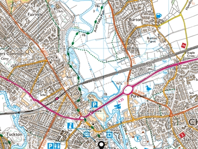
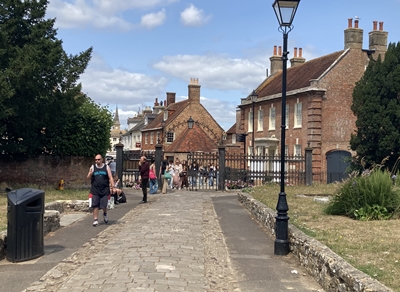
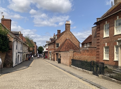
Christchurch to the Water Meadows.
has been washed away in the water meadows.
There is no alternative route to proceed
but the path along the riverbank can be
followed to return to Knapp Mill.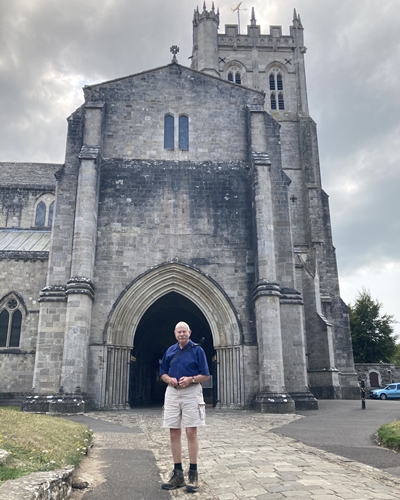
the Avon Valley Path commences.
at the end of Fountain Way.
the subway under Fountain Way.
turn left as indicated by the 33½ sign.
and becomes a footpath.
the fence on the left.
and cross the next sluice.
the electricity pylon in the distance.
Flood erosion can cause the path to
become swamped in wet conditions.
washed away in floods in 2023
and will not be replaced.
There is no viable alternative route.